

Mapping, Modelling & Remote Sensing
Our aerial mapping & remote sensing services provide clients with detailed, geospatially accurate image-derived data, LiDAR data & more.
To further ensure your data is survey-grade, we work closely with leading surveyors who are recognized globally for their project successes.
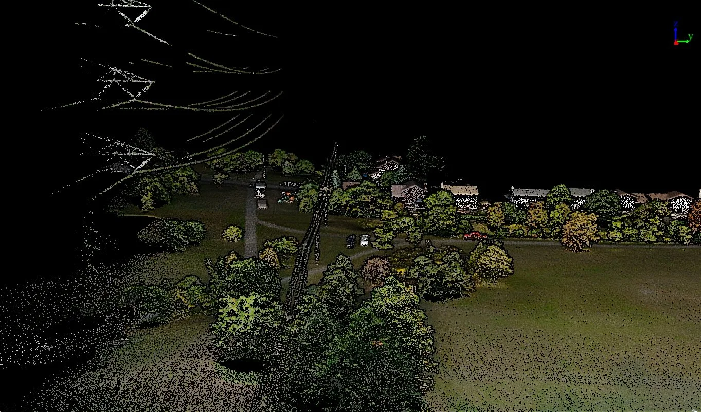
LiDAR
Ideal in highly vegetated & often rugged environments
Environmental assessments
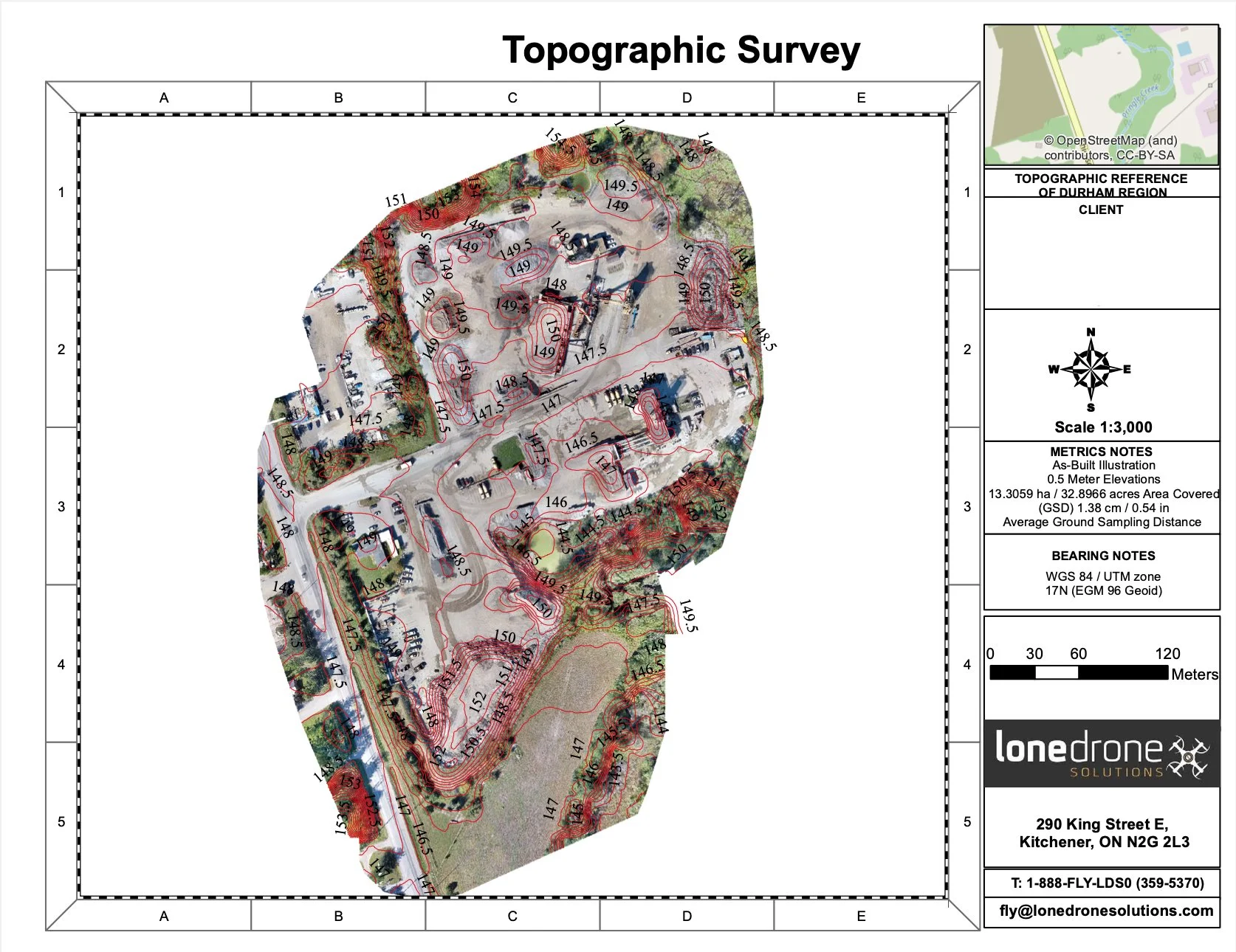
Topographic surveys
Sediment & erosion control surveys
Water level surveys (flood assessment & planning
Slope stability
Vegetation encroachment
Right-of-way surveys
Disposition surveys
Photogrammetry
Ideal in feature-rich environments with low vegetation
Topographic surveys
Cut/fill surveys & volume measurements
Road condition surveys
Earthworks take-off & grading
Exploration surveys
As-built surveys
Updated site maps
Right-of-way surveys
Disposition surveys
Sustained growth allows us to offer specialized remote sensing solutions to industries faced with unique challenges, such as mining exploration with the use of ground penetrating radar & magnetometry.
We also offer extremely detailed modelling services for digital twins of assets & infrastructure, as well as recreating inspection environments.

Building Information Modeling (BIM)
Construction progress tracking
Digital twins
Ongoing facilities management
Data visualization
Export to CAD, AutoDesk etc.

SLAM
Simultaneous Localization & Mapping
Critical infrastructure & confined-space digitization
Auto-navigate hazardous areas while mapping surroundings
Mine stope inspections
Culvert inspections
Abandoned well inspections

Precision Agriculture & NDVI
Plant & vegetation health
Orchard mapping
Prescription mapping for variable rate applications
Crop fertilization
Potato foliar spraying
Forest distribution surveys

3D Modeling
Erosion & stability analysis
Change detection
CAD & Autodesk integration
Digital twins
Inspection automation

Advanced Remote Sensing
Geophysical surveys
Magnetometry
Mining exploration
Ground-penetrating radar (subsurface anomalies)
Fugitive emissions
Methane plume mapping
Bathymetric Surveys
Pond sediment surveys
Harbour dredging

Need something else?
We don’t overpromise. If it’s beyond our capabilities, we’ll recommend where to look next.